National reach. Local understanding.
Explore the places and priorities that connect our alliance across Somalia.
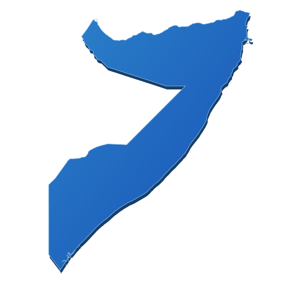
Use the map markers or the area buttons to explore shared priorities.
Explore our operational coverage.
Select an area on the map, use keyboard focus, or read the area summaries below.
Puntland +
Pastoral resilience, drought response, flooding, displacement and community systems.
Discuss collaboration in this area ↗Galmudug +
Pastoral resilience, drought response, flooding, displacement and community systems.
Discuss collaboration in this area ↗Hirshabelle +
Pastoral resilience, drought response, flooding, displacement and community systems.
Discuss collaboration in this area ↗South West State +
Agriculture, markets, internally displaced communities, urban vulnerability and national coordination.
Discuss collaboration in this area ↗Jubaland +
Agriculture, markets, internally displaced communities, urban vulnerability and national coordination.
Discuss collaboration in this area ↗Banadir +
Agriculture, markets, internally displaced communities, urban vulnerability and national coordination.
Discuss collaboration in this area ↗About the map
This visualization shows operational coverage, not a political boundary declaration. Markers are indicative geographic references; they do not define operational or administrative boundaries. Internal area boundaries are not shown pending approval.
Locally rooted. Nationally connected. Ready to collaborate.
Work with a Somali-led alliance that connects community knowledge, civil-society capability, national coordination, and accountable delivery.
Discuss a Partnership Contact the Secretariat